Remote Sensing and Image Interpretation
Welcome to this episode of the Advanced Certificate in Aerial Surveillance Systems, a podcast brought to you by the London School of Planning and Management, or LSPM. I'm your host, and I'm excited to dive into one of the most fascinating t…
Welcome to this episode of the Advanced Certificate in Aerial Surveillance Systems, a podcast brought to you by the London School of Planning and Management, or LSPM. I'm your host, and I'm excited to dive into one of the most fascinating topics in the field of aerial surveillance: Remote Sensing and Image Interpretation. This unit is all about uncovering the secrets that lie within images and data collected from aerial platforms, and I'm sure you'll find it as captivating as I do.
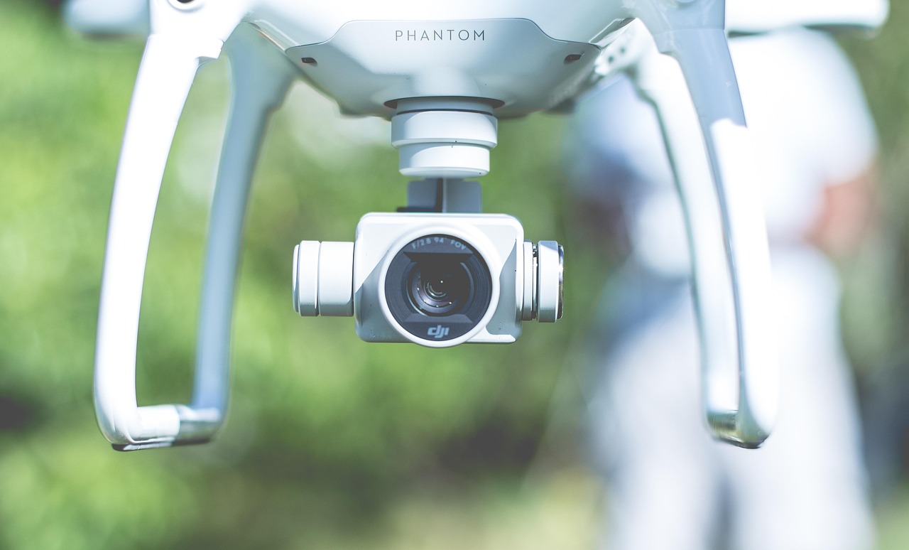
To set the stage, let's take a step back in time. The concept of remote sensing dates back to the 19th century, when aerial photography was first used for military reconnaissance. Fast forward to the present day, and we have an array of technologies at our disposal, from satellite imaging to drones equipped with high-resolution cameras. The evolution of remote sensing has been nothing short of remarkable, and its applications are now felt across various industries, including environmental monitoring, urban planning, and disaster response.
So, what exactly is Remote Sensing and Image Interpretation? In simple terms, it's the process of collecting and analyzing data from aerial platforms to extract meaningful information. This can include identifying patterns, detecting changes, and making predictions. The importance of this unit cannot be overstated, as it enables professionals to make informed decisions, optimize resources, and respond to challenges in a timely and effective manner.
Now, let's talk about some practical applications of Remote Sensing and Image Interpretation. Imagine being able to monitor crop health, detect early signs of disease, and predict yields with unprecedented accuracy. This is already a reality in precision agriculture, where remote sensing technologies are being used to boost productivity and reduce waste. Similarly, in the field of environmental monitoring, remote sensing helps us track deforestation, monitor water quality, and identify areas of high conservation value.
But how can you apply these concepts in your own work or life? One actionable strategy is to start experimenting with freely available satellite imagery and software tools. For instance, you can use platforms like Google Earth Engine or QGIS to analyze satellite data and create custom maps. Another tip is to focus on a specific area of interest, such as monitoring coastal erosion or tracking urban expansion. By doing so, you'll be able to develop a deeper understanding of the subject matter and identify opportunities for innovation.
The importance of this unit cannot be overstated, as it enables professionals to make informed decisions, optimize resources, and respond to challenges in a timely and effective manner.
Of course, there are also common pitfalls to avoid. One of the biggest mistakes is to rely solely on automated algorithms without considering the context and limitations of the data. This can lead to misinterpretation and inaccurate conclusions. To avoid this, it's essential to develop a critical eye and consider multiple sources of data before making decisions.
As we conclude this episode, I want to leave you with an inspiring message. The field of Remote Sensing and Image Interpretation is rapidly evolving, and the possibilities are endless. By applying the concepts and strategies we've discussed, you can unlock new insights, drive innovation, and make a meaningful impact in your chosen field. So, don't be afraid to experiment, take risks, and push the boundaries of what's possible.
If you've enjoyed this episode, I encourage you to subscribe to our podcast and share it with your network. You can also engage with us on social media, using the hashtag #LSPM, to continue the conversation and learn from others. The London School of Planning and Management is committed to providing high-quality educational content, and we're excited to have you join our community of learners. Thanks for tuning in, and we look forward to exploring more exciting topics in the world of aerial surveillance systems.
Key takeaways
- Welcome to this episode of the Advanced Certificate in Aerial Surveillance Systems, a podcast brought to you by the London School of Planning and Management, or LSPM.
- The evolution of remote sensing has been nothing short of remarkable, and its applications are now felt across various industries, including environmental monitoring, urban planning, and disaster response.
- The importance of this unit cannot be overstated, as it enables professionals to make informed decisions, optimize resources, and respond to challenges in a timely and effective manner.
- Similarly, in the field of environmental monitoring, remote sensing helps us track deforestation, monitor water quality, and identify areas of high conservation value.
- By doing so, you'll be able to develop a deeper understanding of the subject matter and identify opportunities for innovation.
- One of the biggest mistakes is to rely solely on automated algorithms without considering the context and limitations of the data.
- By applying the concepts and strategies we've discussed, you can unlock new insights, drive innovation, and make a meaningful impact in your chosen field.