
Advanced Aerial Imaging Technologies
Welcome to this exciting episode of our Advanced Certificate in Aerial Surveillance Systems podcast, where we dive deep into the world of Advanced Aerial Imaging Technologies. I'm your host, [Host Name], and I'm thrilled to have you here, e…
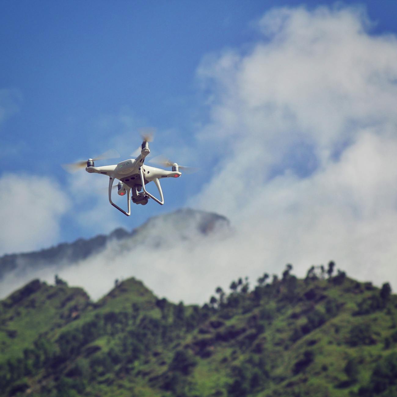
Photo from Pexels
Welcome to this exciting episode of our Advanced Certificate in Aerial Surveillance Systems podcast, where we dive deep into the world of Advanced Aerial Imaging Technologies. I'm your host, [Host Name], and I'm thrilled to have you here, exploring the skies with us.
Aerial imaging has come a long way since the first known aerial photograph was taken in 1858 by Gaspard-Félix Tournachon, also known as Nadar. Since then, we've witnessed a breathtaking evolution of aerial imaging technologies, now capable of providing stunning high-resolution, real-time images from various platforms, including drones, aircraft, and satellites.
Advanced Aerial Imaging Technologies is a crucial unit in our Aerial Surveillance Systems course, as it equips you with the knowledge and skills necessary to leverage these advanced tools to collect, analyze, and interpret aerial data for a wide range of applications. From environmental monitoring and urban planning to disaster response and precision agriculture, the potential uses for aerial imaging are seemingly limitless.
Today, I'd like to share some actionable strategies and examples that will help you grasp the practical applications of Advanced Aerial Imaging Technologies. By understanding the power of these tools, you'll be able to make informed decisions in your professional and personal life.
First, let's consider precision agriculture. By utilizing advanced aerial imaging technologies, farmers can monitor crop health, identify pests, and optimize irrigation systems. This results in higher crop yields, reduced water consumption, and a more sustainable approach to agriculture. A compelling example is the use of multispectral imaging, which captures light in various wavelengths to analyze crop vigor and detect signs of stress. By identifying issues early, farmers can take corrective actions, saving time, resources, and potentially preventing significant crop losses.
Now, let's explore urban planning. City planners can use aerial imaging to analyze traffic patterns, assess infrastructure conditions, and evaluate the impact of urban development on the environment. For instance, by analyzing high-resolution images, planners can identify areas with poor drainage, leading to flooding, and propose solutions to mitigate the issue. Additionally, aerial imaging can aid in disaster response by providing real-time information about affected areas, allowing first responders to allocate resources efficiently and prioritize rescue efforts.
Additionally, aerial imaging can aid in disaster response by providing real-time information about affected areas, allowing first responders to allocate resources efficiently and prioritize rescue efforts.
While these technologies offer tremendous benefits, it's essential to be aware of common pitfalls. Data privacy is a significant concern, as high-resolution imaging can potentially reveal sensitive information. It's crucial to ensure that data collection, storage, and sharing practices comply with local regulations and ethical guidelines. Moreover, interpreting aerial imagery requires specialized knowledge and skills, so investing in training and education is vital to make the most of these advanced tools.
As we conclude this episode, I want to leave you with an inspiring message. Advanced Aerial Imaging Technologies are revolutionizing various industries, and by understanding and applying these tools, you're positioning yourself at the forefront of innovation. So, go ahead and explore, learn, and grow – the sky is no longer the limit.
Finally, if you enjoyed this episode, please subscribe, share it with your friends, and engage with us on social media. Your feedback, questions, and insights are invaluable in helping us create an even more exciting and informative podcast.
Thank you for joining me on this journey through the skies. Until next time, happy imaging!
Key takeaways
- Welcome to this exciting episode of our Advanced Certificate in Aerial Surveillance Systems podcast, where we dive deep into the world of Advanced Aerial Imaging Technologies.
- Since then, we've witnessed a breathtaking evolution of aerial imaging technologies, now capable of providing stunning high-resolution, real-time images from various platforms, including drones, aircraft, and satellites.
- From environmental monitoring and urban planning to disaster response and precision agriculture, the potential uses for aerial imaging are seemingly limitless.
- Today, I'd like to share some actionable strategies and examples that will help you grasp the practical applications of Advanced Aerial Imaging Technologies.
- A compelling example is the use of multispectral imaging, which captures light in various wavelengths to analyze crop vigor and detect signs of stress.
- Additionally, aerial imaging can aid in disaster response by providing real-time information about affected areas, allowing first responders to allocate resources efficiently and prioritize rescue efforts.
- Moreover, interpreting aerial imagery requires specialized knowledge and skills, so investing in training and education is vital to make the most of these advanced tools.