GIS for Urban Heat Mapping
Expert-defined terms from the Postgraduate Certificate in Urban Heat Mapping and Analysis course at London School of Planning and Management. Free to read, free to share, paired with a professional course.
GIS for Urban Heat Mapping #
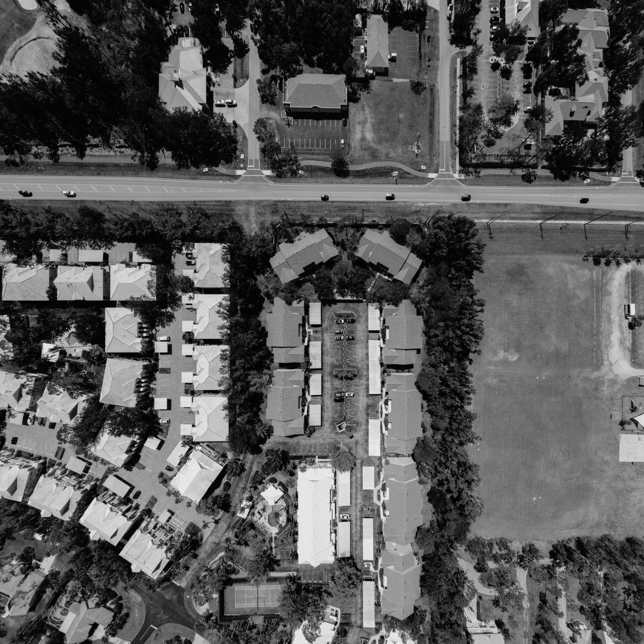
Geographic Information System (GIS) for Urban Heat Mapping refers to the use of GIS technology to analyze, visualize, and map urban heat islands (UHIs) within cities. This process involves collecting, processing, and analyzing various spatial data layers such as land cover, land use, building density, and surface temperature to identify areas within urban environments that experience higher temperatures compared to surrounding rural areas.
Concept #
The concept of GIS for Urban Heat Mapping involves utilizing spatial data to understand the distribution of heat within urban areas and its impact on the environment, infrastructure, and public health. By integrating different layers of data into a GIS platform, researchers and urban planners can identify hotspots, analyze trends, and develop strategies to mitigate the effects of UHIs.
Acronym #
UHI (Urban Heat Island) - An urban heat island is a phenomenon where urban areas experience higher temperatures than their rural counterparts due to human activities, such as the construction of buildings, roads, and other infrastructure, which absorb and retain heat.
- Remote Sensing: Remote sensing involves collecting data from a distance… #
- Remote Sensing: Remote sensing involves collecting data from a distance using sensors mounted on satellites or aircraft to gather information about the Earth's surface, including temperature, vegetation cover, and land use.
- Land Cover: Land cover refers to the physical material covering the Ear… #
- Land Cover: Land cover refers to the physical material covering the Earth's surface, such as forests, grasslands, water bodies, and urban areas, which can impact surface temperatures.
- Land Use: Land use describes how land is utilized by humans for various… #
- Land Use: Land use describes how land is utilized by humans for various purposes, such as residential, commercial, industrial, or recreational, influencing the heat absorption and retention characteristics of an area.
Explanation #
GIS for Urban Heat Mapping combines spatial analysis techniques with geographic data to assess the distribution of heat within urban areas. By integrating data layers such as land cover, land use, building density, and surface temperature, GIS specialists can create heat maps that visually represent temperature variations across a city. These maps help identify areas with higher temperatures, known as urban heat islands, and understand the factors contributing to their formation.
Utilizing GIS for Urban Heat Mapping allows researchers and urban planners to id… #
For example, by analyzing temperature patterns in a city, decision-makers can target heat mitigation measures such as increasing green spaces, implementing cool roofs, and optimizing building placement to reduce the impact of UHIs on public health and energy consumption.
Challenges associated with GIS for Urban Heat Mapping include data availability,… #
Additionally, ensuring the scalability and transferability of heat mapping models to different urban environments requires careful consideration of local climate conditions, land use patterns, and socio-economic factors. Despite these challenges, GIS technology offers a powerful tool for understanding and addressing the complex dynamics of urban heat islands, contributing to the development of sustainable and resilient cities.